Selecting the right equipment for your drone
So, you are itching to take to the skies and map the great expansive canvas below? Excellent! The heartbeat of your drone mapping adventure lies in the choice of equipment. Just like a painter selects brushes, your selection could mean the difference between a masterpiece and a muddled mess.
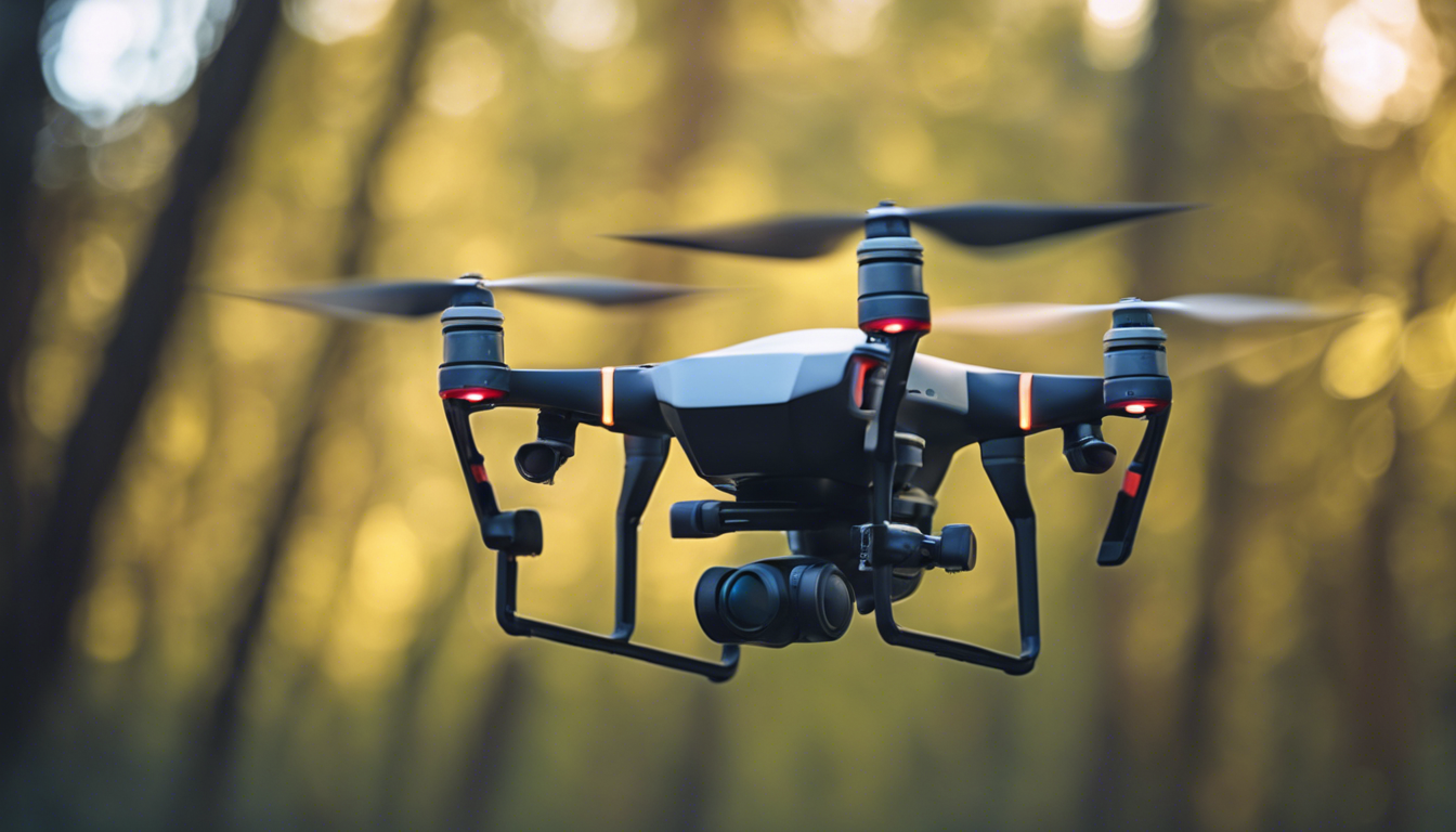
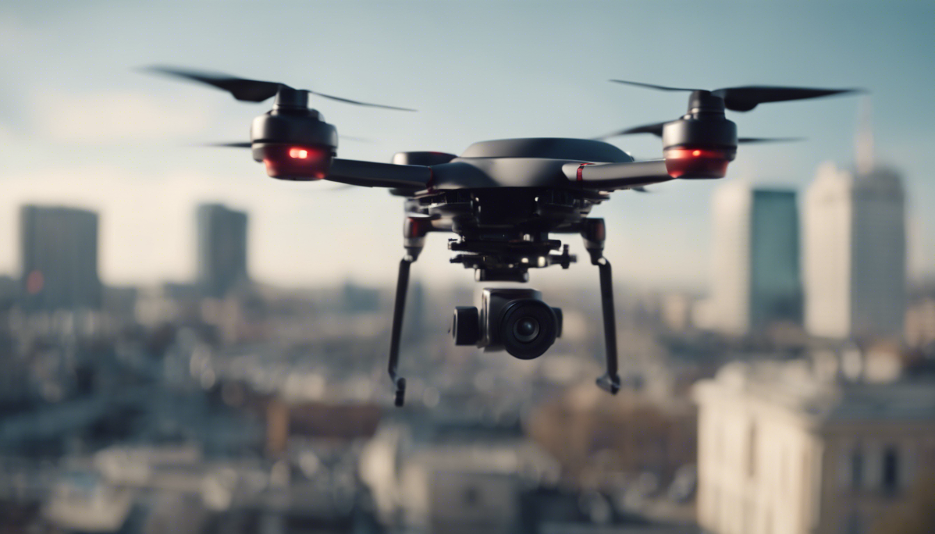
First and foremost, let’s talk about the flying wonder itself – the drone. Consumer drones vary widely, but for mapping, you want one that hits the sweet spot between stability and image quality. Your rig should boast a camera that snaps crystal-clear images because, hey, who wants a blurry map? Seek out drones with a one-inch sensor or larger to capture the world in riveting detail.
Then, there’s battery life. Longer airtime means sweeping over vast lands in a single graceful flight. Drones with a flight time of at least 20 minutes can keep your mapping missions smooth and continuous, preventing the frustrating stop-start routine.
Oh, and don’t forget storage. Mapping gobbles up data like nothing else. Make sure your drone supports high-capacity memory cards to store all those high-res photos without a hiccup.
Now let’s give props to the unsung hero of aerial mapping – the gimbal. A quality gimbal ensures your camera stays steady as a rock, even when your drone is buffeted by the whims of the wind. Without it, you’d have photos bumpier than a mogul ski run.
But wait, there’s more! Can your drone handle a payload? If you are planning to attach additional sensors down the line, you’ll need a workhorse that can carry more than its own selfie stick.
Finally, GPS is your invisible best friend. Accurate positioning is non-negotiable for mapping; it’s like having a spot-on compass guiding you through uncharted territory. A drone with top-notch GPS will make sure every photo is tagged with precise coordinates, paving the way for a map that’s accurate and reliable.
Choosing the right equipment is like picking a team for an epic quest – each member plays a critical role. With the right drone by your side, you are all set to chart the unknown and create maps that would make Magellan proud.
Integrating mapping software and sensors
Alright, once you’ve snagged a drone that even Icarus would envy, now, let’s get techy with the brains of the operation—software and sensors.
Here’s the scoop: drones are cool, but it is the sensors and software that turn them into mapping mavericks. First up, sensors. These guys are your eyes in the sky. Most consumer drones come with pretty decent cameras, but serious mappers might want to step it up a notch. Think adding sensors that capture not just RGB imagery but also thermal, multispectral, or even hyperspectral data. These give you the superpower to see beyond the spectrum of mere mortals, unlocking a treasure trove of information for agriculture, environmental monitoring, and other earth-science wizardry.
Now, let’s talk about that secret sauce, the mapping software. You’ll need specialized software that can stitch together hundreds, sometimes thousands of images to produce your final map. This magic is known as photogrammetry. Some drones come with this software, but there are also standalone options that offer advanced features and greater control. It is like going from a flip phone to a smartphone; the possibilities expand exponentially.
Here’s the kicker, though. Not all software plays nice with each other. So you’ll want to ensure that your selected software is compatible with your drone and the data it captures. Imagine trying to make a cake with ingredients that won’t mix—no bueno.
And let’s not overlook flight planning software. This isn’t your run-of-the-mill itinerary. This software tells your drone exactly where to go, at what height, and how fast. Some are so advanced that they automatically adjust for the best lighting, overlap, and even account for terrain changes. It’s like having a personal mapping butler at your fingertips—meticulous and remarkably efficient.
One little-known fact is that many drones have a maximum altitude limit. But worry not, mapping pilots! That is actually a feature, not a bug. It is all about safety—you wouldn’t want your drone to be the reason an airplane had a bad day. Plus, flying closer means better detail for your maps. Always check the regulations in your area, all the while knowing your map quality will be top-notch.
Remember, integrating your mapping software and sensors isn’t a ‘set-it-and-forget-it’ kind of deal. It is a dance, a harmonious choreography between tech, regulations, and your mapping goals. Take your time, get to know the ins-and-outs of your gear, and soon you’ll be orchestrating aerial mapping concerts that not only collect data but also tell powerful stories about the land below.
Practical tips for planning your mapping missions
Now that you’ve got your drone decked out with software that is more sophisticated than the control room of the Starship Enterprise, now, let’s turn your attention to the art of planning your mapping missions. Yes, art—because a well-planned flight is a thing of beauty!
Before you launch your mechanical bird, tune into the weather channel. While a little breeze can be refreshing for us ground-dwellers, it is a whole different ball game when you’re trying to capture pristinely still images from the sky. Pick a day when Mother Nature is in a good mood, with calm winds and no rain. And if you catch her on an exceptionally clear day, your photos will be sharper than a tack.
Lighting is another factor that deserves your undivided attention. You want that golden hour glow? Well, guess what? Drones love it too. That’s when shadows are at bay, and everything looks like it’s been sprinkled with a bit of photographic fairy dust.
Now, let’s talk flight paths. Remember, your drone isn’t free-roaming wildlife—it needs a plan. Mapping out your flight path beforehand saves you both time and battery life, and ensures you don’t miss a spot. It’s like setting up GPS for a road trip, only cooler because it is in the sky.
Overlap is the secret ingredient for seamless stitching of your images. Consider of it like overlapping bricks in a wall for strength. Ensure your drone’s flight path allows for about 80% overlap between images. This makes the stitching process smoother than a buttered slide, ensuring there will be no gaps in your final map.
Quick tip: don’t be shy to fly a few practice runs. It is better to iron out any potential wrinkles in the comfort of familiarity than to encounter them when you are gunning for the ultimate map.
Speaking of the ultimate map, altitude is integral to your mission’s success. Too high, and you’ll end up with a map where cars look like ants. Too low, and you might confuse a bird for a drone enthusiast. Find the sweet spot where you get enough detail without compromising on the scope. And remember, the altitude will affect your image resolution, so higher isn’t always better.
- Consider ahead and ponder the terrain. If you are mapping a mountainous area, your drone will need to ascend and descend like an eagle rather than zip around like a hummingbird. Terrain-following tech can be your hero here.
- Battery life—make sure you have enough juice to complete your mission without having to make an emergency landing. It’s wise to have spare batteries charged and ready to swap in if needed. Also, knowing the exact location of battery swap points can be crucial during long missions.
- Communication is key. Inform local authorities if needed and always have a visual line of sight with your flying companion. The better you know the communication protocol, the smoother your operation will be.
Finally, always have a backup plan. Technology is fantastic until it decides to take a day off. If your drone goes off course or the software has a hiccup, having a “Plan B” ensures you stay cool as a cucumber and keep your mapping mission on track.
Remember, mapping with a drone isn’t just about getting your hardware airborne. It’s about thoughtful preparation and making sure that once your drone’s propellers whirl into action, every moment and every movement counts. Now, go ahead and let your well-planned mapping missions take flight!