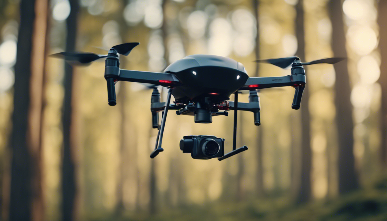
Drones, also known as unmanned aerial vehicles (UAVs), have revolutionized various fields of research, and coastal and marine research is no exception. These small flying machines equipped with cameras and sensors provide scientists with invaluable data about our oceans and coastal ecosystems. In this article, we will explore how consumer drones are being used in coastal and marine research, the challenges they face, and the practical tips for using them effectively.
Monitoring Marine Wildlife:
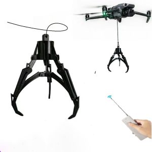
One of the most exciting applications of consumer drones in coastal and marine research is monitoring marine wildlife. With their aerial perspective, drones can capture high-resolution images and videos of marine mammals, seabirds, and even elusive creatures like sharks and whales. These observations help researchers study their behavior, population dynamics, migration patterns, and assess the impacts of human activities on these species.
Marine Debris Detection:
Coastal regions face significant challenges from marine debris, including plastic pollution. Drones equipped with cameras and machine learning algorithms can fly along the coastlines, detecting and mapping areas with high concentrations of debris. This information aids in planning clean-up efforts and raises awareness about the severity of the issue.
Mapping Coastal Erosion:
Coastal erosion is a major concern for many communities living near the ocean. Drones equipped with LiDAR (Light Detection and Ranging) technology can create highly accurate 3D maps of coastal areas, allowing scientists to identify vulnerable regions and predict future erosion patterns. This data is important for developing effective management strategies to protect coastal communities and ecosystems.
Assessing Coral Reef Health:
Coral reefs are delicate ecosystems that face multiple threats, including climate change and pollution. Consumer drones equipped with multispectral cameras can capture high-resolution images of coral reefs, revealing their health and identifying stress indicators. These visual assessments complement traditional methods and help prioritize conservation efforts.
Strategies for Effective Drone Usage:
- Plan Your Flight: Before deploying your drone, carefully plan your flight path considering weather conditions, battery life, and any legal regulations for flying in the area.
- Pre-flight Checks: Perform a thorough pre-flight check to ensure your drone is in optimal condition. Inspect propellers, batteries, and controller settings before takeoff.
- Learn the Regulations: Flying a drone near coastal and marine areas may have specific regulations. Familiarize yourself with these rules to avoid legal issues and ensure safety.
- Respect Wildlife: When observing marine wildlife, maintain a safe distance and minimize disturbance. Avoid flying too close or causing stress to the animals.
- Data Management: Develop an efficient data management system to organize and store the information captured by your drone. This ensures easy access and analysis for future research.
In Conclusion:
Consumer drones have opened up new possibilities for coastal and marine research. From monitoring marine wildlife to studying coastal erosion, these flying machines provide researchers with valuable data to better understand and protect our oceans and coasts. By following best practices and respecting nature, drones can continue to play a significant role in advancing our knowledge of these vital ecosystems.