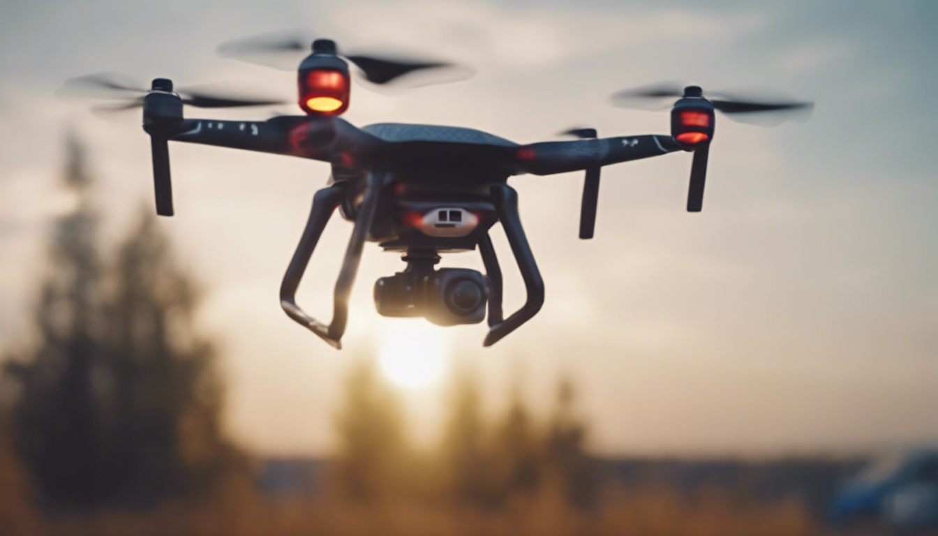
Drones, also known as unmanned aerial vehicles (UAVs), have revolutionized multiple industries, including weather forecasting and analysis. These agile and versatile flying machines have opened up new avenues for gathering real-time meteorological data with unprecedented precision. In this article, we will zoom in on consumer drones and their role in weather forecasting and analysis, exploring various aspects and details.
Improved Data Collection
Traditional weather observations involve ground-based weather stations and satellite imagery. However, drones offer a significant advantage by providing localized and high-resolution data in real-time. Equipped with specialized sensors, consumer drones can collect atmospheric data such as temperature, humidity, air pressure, wind speed, and wind direction at multiple altitudes. This enhanced data collection enables meteorologists to have a more accurate understanding of weather patterns.
Enhanced Forecasting Models
Accurate and timely weather forecasts heavily depend on robust mathematical models. By integrating data gathered by drones, meteorologists can refine their models and improve the accuracy of predictions. The intricate details captured by drones allow for a more comprehensive analysis of weather conditions. This data-driven approach helps in minimizing errors and uncertainties, ultimately increasing the reliability of weather forecasts.
Monitoring Severe Weather Events
Severe weather events like hurricanes, tornadoes, and storms pose significant risks to human lives and infrastructures. Consumer drones equipped with advanced sensors can be deployed to closely monitor these events, tracking their path, intensity, and other critical parameters. This information is invaluable in issuing timely warnings and evacuation orders, potentially saving lives and reducing the impact of natural disasters.
Aerial Imaging for Weather Analysis
Consumer drones are not limited to collecting atmospheric data; they can also capture aerial images and videos for further analysis. These images help meteorologists in assessing cloud formations, spotting weather anomalies, and studying weather phenomena like lightning storms or tornadoes. The ability to acquire visual data from various angles and altitudes provides a comprehensive understanding of evolving weather systems.
Challenges and Limitations
While consumer drones have greatly advanced weather forecasting and analysis, they do come with their own set of challenges and limitations. One primary challenge is operating safely in adverse weather conditions such as strong winds or heavy rain. Additionally, drone flights need to comply with local aviation regulations and must prioritize the safety of other air traffic.
Liability and privacy concerns also arise when deploying consumer drones for weather-related purposes. There is a need for strict adherence to data protection laws and guidelines to ensure that privacy rights are not compromised. Moreover, the equipment and operational costs associated with implementing drone technology in weather forecasting can be significant hurdles for widespread adoption.
Consumer drones have revolutionized weather forecasting and analysis by providing meteorologists with real-time and localized data. The improved data collection, integration into forecasting models, monitoring of severe weather events, and aerial imaging capabilities have all contributed to more accurate and reliable weather forecasts. Despite the challenges and limitations, the potential benefits of consumer drones in this field are undeniable. As technology continues to advance and regulations evolve, we can expect these unmanned aerial vehicles to play an even more significant role in understanding and predicting the ever-changing weather patterns.
