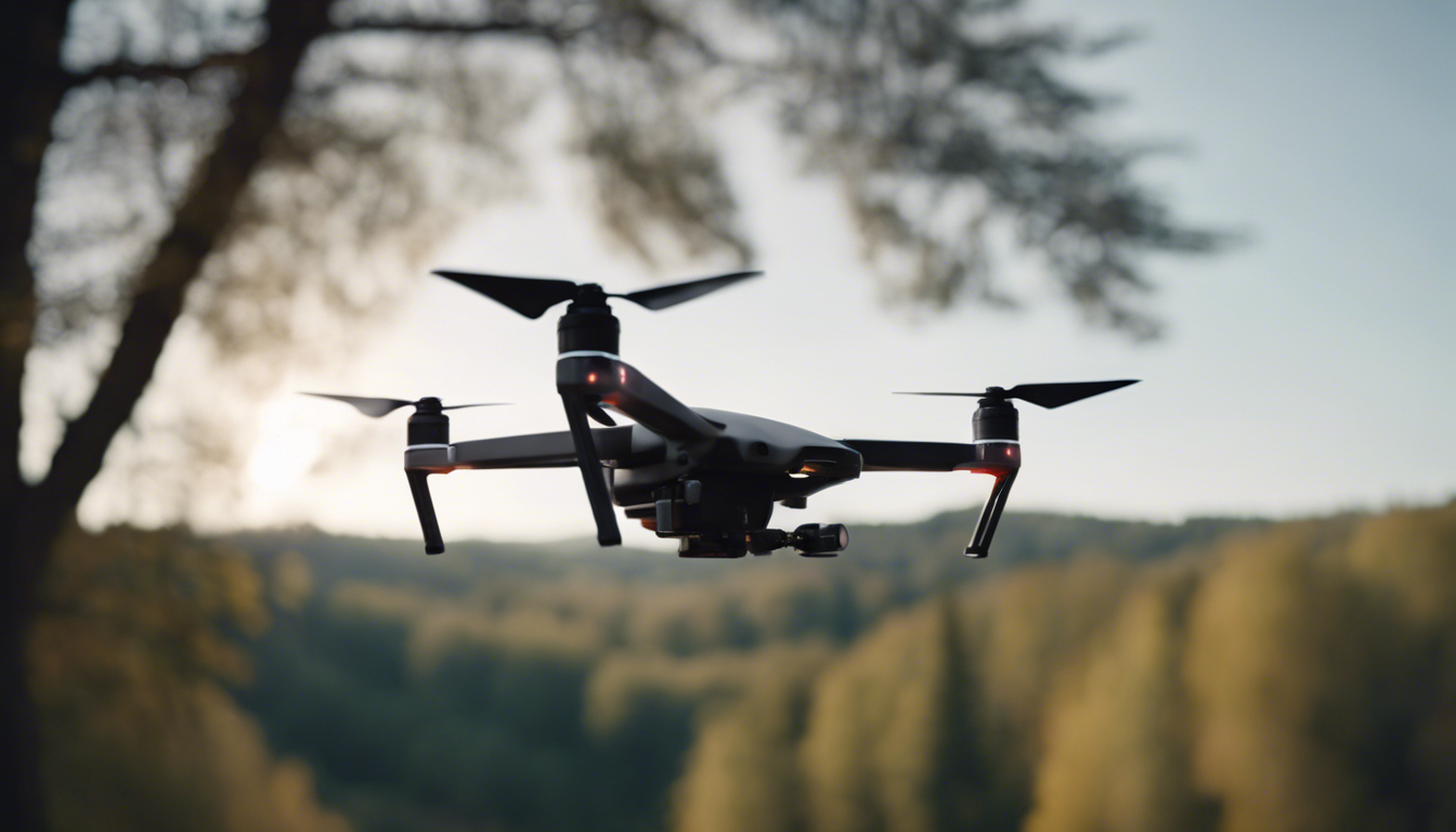
3D mapping with drones has become increasingly popular in recent years, thanks to advances in technology and the affordability of consumer drones. This innovative technique allows users to create detailed and accurate 3D models of landscapes, buildings, and other objects from aerial photographs captured by drones. Whether you’re a hobbyist or a professional, here are some techniques to help you make the most of this exciting technology.
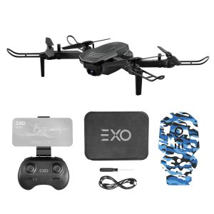
- Choose the right drone: When it comes to 3D mapping, having a drone with a high-resolution camera and advanced stabilization features is important. Look for drones that offer at least a 12-megapixel camera and optical image stabilization to ensure sharp and clear images.
- Pre-flight planning: Before you take off, it’s important to plan your flight path and set specific points of interest for the drone to capture. Using 3D mapping software, such as Pix4D or DroneDeploy, can help you plan your flight and optimize the image capture process.
- Ponder the weather: Weather conditions can greatly impact the quality of your 3D mapping results. Avoid flying on windy or rainy days, as strong gusts of wind can cause blurred images and inaccurate mapping. Ideally, choose a clear and calm day for optimal results.
- Get the right altitude: Finding the right altitude is the key to capturing detailed and comprehensive imagery for your 3D model. Flying too high can result in lower resolution images, while flying too low may cause overlapping images and redundant data. Experiment with different altitudes to find the ideal balance.
- Use ground control points: Ground control points (GCPs) are physical markers placed on the ground that help improve the accuracy of your 3D model. By accurately measuring the position of these points and including them in your mapping software, you can ensure higher precision and reduce distortions caused by various factors.
- Optimize lighting conditions: Lighting plays a critical role in capturing high-quality images for 3D mapping. Ideally, choose a time of day when the sun is at a lower angle to avoid harsh shadows and overexposure. Early morning or late afternoon are generally recommended for soft and even lighting.
- Post-processing and software: Once you’ve captured all the necessary images, it is time to process them using specialized 3D mapping software. These programs stitch together the photos, align them, and create a 3D model with accurate dimensions. Pix4D, DroneDeploy, and Agisoft Metashape are popular software options to consider.
- Refine and analyze your model: After the initial processing, take the time to refine your 3D model by removing any unwanted artifacts or inaccuracies. You can use editing tools within the software to smooth out surfaces, remove outliers, and enhance details. Additionally, many software options offer analysis features to measure distances, volumes, and other metrics.
Pro tip: Practice makes perfect! Don’t expect your first attempts at 3D mapping to be flawless. Experiment, learn from your mistakes, and keep refining your technique. The more you practice, the better you’ll get at capturing stunning and accurate 3D models.
To wrap it up, consumer drones offer an accessible and powerful tool for 3D mapping. By following these techniques and utilizing advanced software, you can create detailed and precise models of various objects and landscapes. Whether for hobby or professional purposes, the possibilities with 3D mapping drones are endless!